


In tunnel engineering, identifying the location of faults is a crucial step because faults may bring serious geological disasters such as landslides and water gushing. In order to accurately identify the location of faults, modern tunnel engineering uses a series of advanced technologies and equipment, including:
1. Geophysical exploration technology: This type of technology uses changes in physical properties to detect underground structures, mainly including:
Resistivity measurement: By measuring the resistivity distribution of underground rocks, the location of faults can be inferred.
Magnetic exploration: Use changes in magnetic fields to detect underground metal minerals and stratigraphic boundaries.
Seismic exploration: The location and morphology of faults can be determined through the propagation characteristics of artificial or natural seismic waves.
Gravity exploration: Use changes in the earth's gravity field to detect underground density changes and then identify faults.
2. Geological radar (GPR): Geological radar is a non-destructive detection technology that can provide high-resolution underground images at the surface or near the surface. By sending high-frequency electromagnetic waves and receiving their reflected signals, underground structures such as cracks, cavities and faults can be detected.
3. Drilling technology: In tunnel construction, drilling is the main means of obtaining underground rock samples. Through drilling, the condition of underground rocks, including the existence of faults, can be directly observed. Drilling can also be combined with other detection methods, such as core analysis, to obtain more detailed geological information.
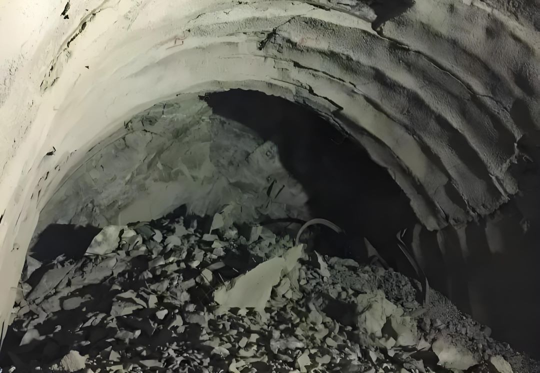
4. Optical and imaging technology: including fiber optic sensors and digital camera technology, which can provide real-time underground images to help engineers intuitively identify faults and other geological features.
5. Numerical simulation technology: Using computer simulation software, combined with known geological data, underground structures can be simulated to predict possible fault locations.
The application of these technologies and equipment enables tunnel engineers to have a comprehensive understanding of underground geological conditions before construction, thereby effectively avoiding geological risks and ensuring the safety and smooth progress of tunnel construction. However, it is worth noting that each technology has its scope of application and limitations, so in practical applications, it is often necessary to combine multiple technologies to obtain the most accurate results.